
Equal Population
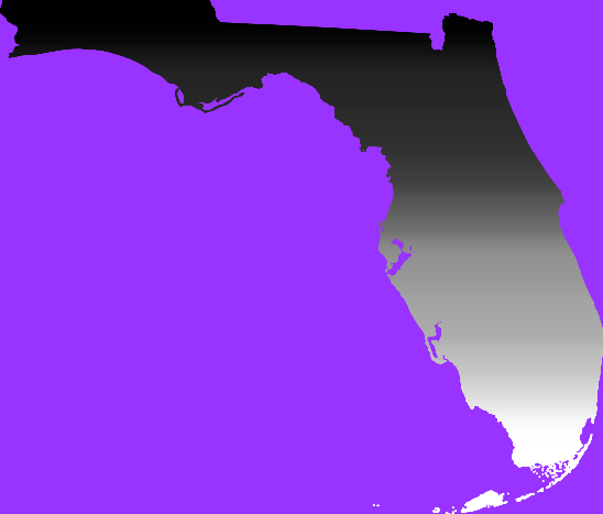
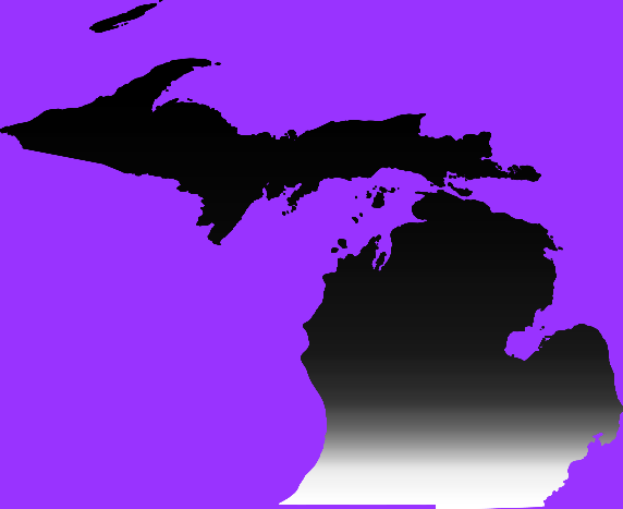
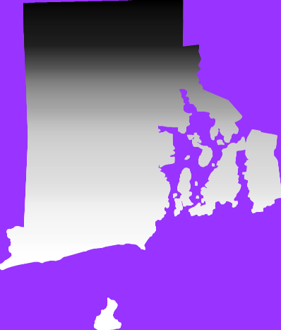
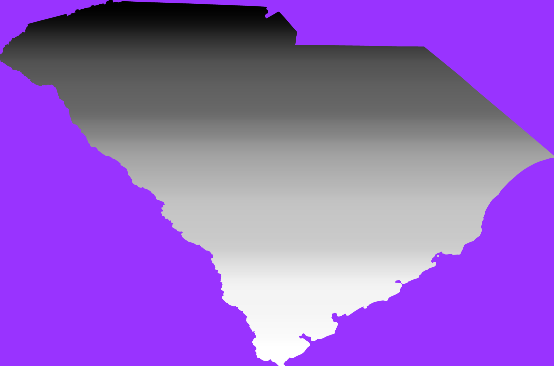
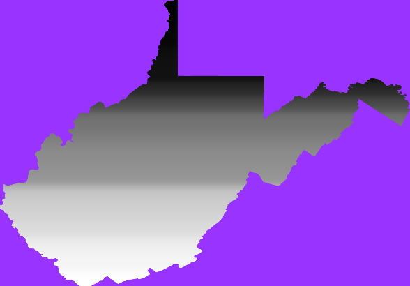
These maps visualize the fifty states of the United States according to their populations. Instead of emphasizing the physical size of each state, the maps give equal importance to population.
This collection includes all fifty states, allowing their populations to be represented and compared independently of their geographic area.
Alabama

Alaska

Arizona

Arkansas

California

Colorado

Connecticut

Delaware

Florida
Georgia

Hawaii

Idaho

Illinois

Indiana

Iowa

Kansas

Kentucky

Louisiana

Maine

Maryland

Massachusetts

Michigan
Minnesota

Mississippi

Missouri

Montana

Nebraska

Nevada

New Hampshire

New Jersey

New Mexico

New York

North Carolina

North Dakota

Ohio

Oklahoma

Oregon

Pennsylvania

Rhode Island
South Carolina
South Dakota

Tennessee

Texas

Utah

Vermont

Virginia

Washington

West Virginia
Wisconsin

Wyoming